

AI4FoodSecurity (Germany)
Challenge closed
Overview
Remote sensing is entering a new era of time-series analysis. Daily revisit times of satellites allow for near real-time monitoring of many areas across the globe. However, there has been little exploration of deep learning techniques to leverage this new temporal dimension at scale. Especially, existing approaches have struggled to combine the power of different sensors to make use of all available information. To stimulate innovation in spatio-temporal machine learning, Planet, TUM, DLR and Radiant Earth have partnered up to propose a unique challenge centered around modeling vegetation phenology from near-daily, harmonized time series of Planet Fusion and Sentinel Imagery. This is made possible by Planet’s new and unprecedented L3H preprocessing level that allows direct interoperability with Sentinel-2.
The goal of this challenge is to classify crop types based on time series data from Sentinel-1, Sentinel-2 and Planet Fusion Monitoring Data. The challenge covers two areas of interest, in Germany and South Africa, with high-quality cadastral data on field boundaries and crop types as ground truth input. The datasets present two main challenges to the community: exploit the temporal dimension for improved crop classification and ensure that models can handle a domain shift to a different year.
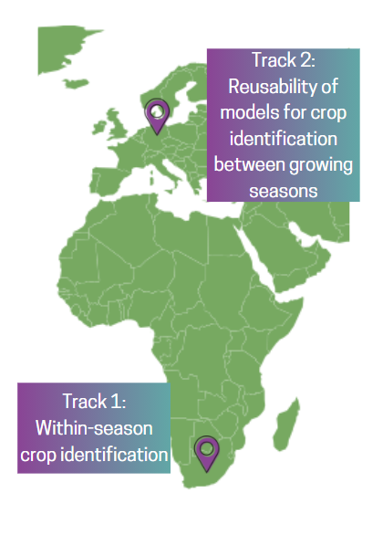
Participating teams can choose between two tracks:
- Within-season crop identification in the Republic of South Africa
- Reusability of models for crop identification from one growing season to the next, in the region of Brandenburg, Germany
In the first track participants are provided with a set of time series representative of all sensor modalities and covering five different winter crop types throughout an entire growing season (April-November) and matching ground truth in the form of crop IDs and field boundaries for the purpose of training and validating ML models. The evaluation will test the ability of the models to correctly identify the crops from test data consisting of time series of images covering the full (April-November) growing season and acquired in the same year and geography.
In the second track participants are provided with a set of time series representative of all sensor modalities and covering nine different crop types for two different years (full 12-month time series) but in the same geography. Field boundaries are provided for both years. Crop ID labels are provided for one of the two years only. The goal is to train and test ML models that can handle a time shift to a different season. The evaluation will test the ability of the models to correctly identify the crops from the test data from the year for which crop ID labels were not provided.
Participating teams have a chance at winning amazing prizes, including internships, cloud computing credits, and much more! You can choose to participate in both challenges, or select one of the tracks!

Partially funded by: